• For more information on how to avoid pop-up ads and still support SkiTalk click HERE.

What are your cycling gear pet peeves?

Thread Starter
TS
Z

zircon

Out on the slopes
Skier
Joined
Feb 23, 2018
Posts
857
Location
I can’t believe it’s not England!
Pet peeve - lack of possessive adjectives in thread titles.
:doh: :doh: :doh: the 'r' must have got deleted while rewording. Now can't unsee. Is that something a mod can fix? (please please please)

Also, my dura-ace hubs (I swear I don't go out of my way to buy Shimano things... the wheels came from the bike's previous owner) are surprisingly silent.
 
Thread Starter
TS
Z

zircon

Out on the slopes
Skier
Joined
Feb 23, 2018
Posts
857
Location
I can’t believe it’s not England!
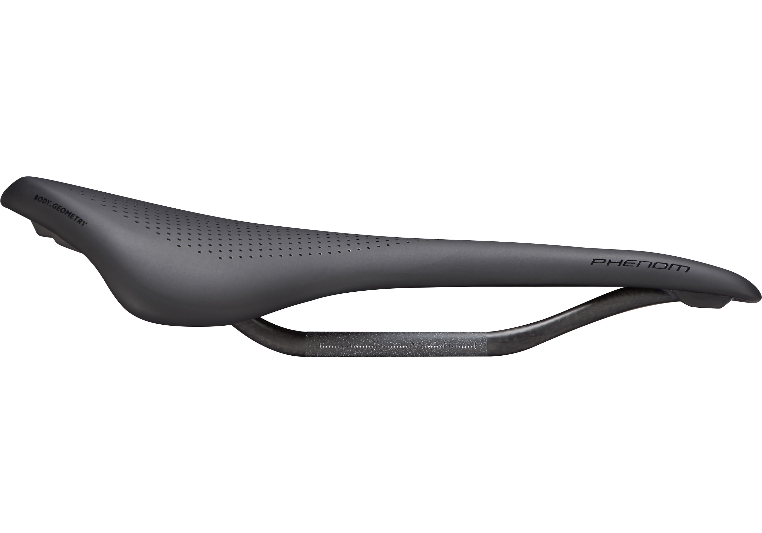
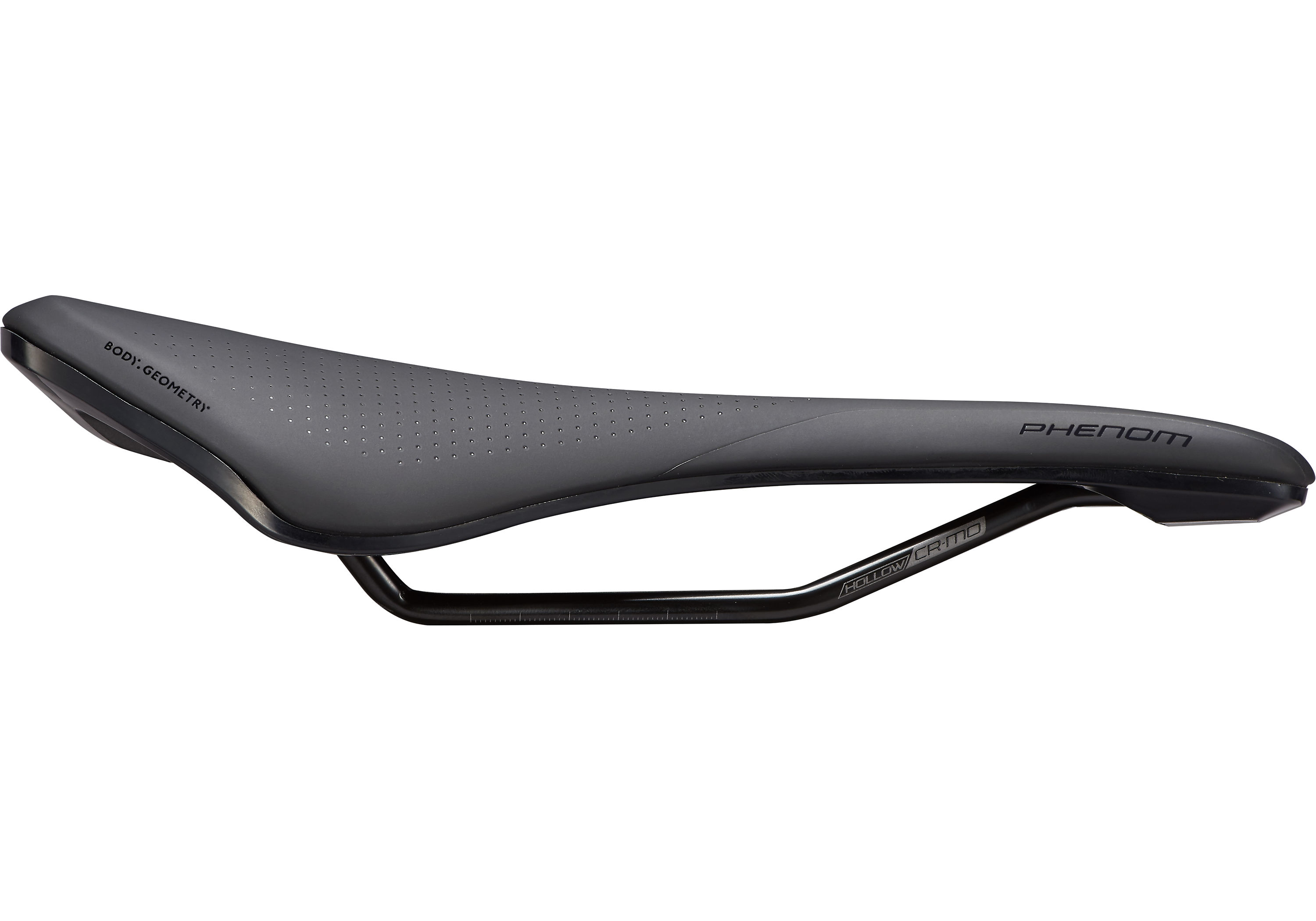
Looking at photos side by side, it appears I have ruined my own life through vanity and if I'd gone with the metal railed version that's on my other bikes I could have all the setback I want. That's what I get for trying to weight weenie 100g on a bike that's already 6.9kg with pedals.

Specialized
Specialized
 

Carl Kuck

Ambassador of Stoke
Skier
Joined
Jan 21, 2016
Posts
739
Location
Del Mar
According to Endomondo (tracking program on my phone), I regularly ride a couple of hundred feet below sea level. Say what ??? (Actually, having worked as a QA person for Nokia for a number of years I know all too well that the vertical axis is far and away the least accurate for GPS - you need to see at least 4 satellites to get an accurate vertical fix and 5 sats are even better...)
 

cantunamunch

Meh
Skier
Joined
Nov 17, 2015
Posts
22,193
Location
Lukey's boat
(Actually, having worked as a QA person for Nokia for a number of years I know all too well that the vertical axis is far and away the least accurate for GPS - you need to see at least 4 satellites to get an accurate vertical fix and 5 sats are even better...)

This bothers me too - imagine loop rides where you regularly descend 200 feet more than you climbed - even though you wind up at the same point?
 

Erik Timmerman

So much better than a pro
Instructor
Joined
Nov 12, 2015
Posts
6,357
So...how many of you actually splashed out for an Onyx hub?

I've ridden them. I wouldn't want to own them, too quiet, I'd hear everything else all the time! Sometimes I wish I had loud hubs on my gravel bike, I'd love to have them announce me when riding multi-ire trails.
 

Tom K.

Skier Ordinaire
Skier
SkiTalk Supporter
Joined
Dec 20, 2015
Posts
8,479
Onyx is a cool story. A bunch of mechanical engineers at a Minnesota agricultural products company that wanted better hubs for their kids' bmx bikes IIRC.
 

Delicious

Glass Cranks
Skier
Joined
Feb 27, 2020
Posts
285
Location
WA
According to Endomondo (tracking program on my phone), I regularly ride a couple of hundred feet below sea level. Say what ??? (Actually, having worked as a QA person for Nokia for a number of years I know all too well that the vertical axis is far and away the least accurate for GPS - you need to see at least 4 satellites to get an accurate vertical fix and 5 sats are even better...)
Wow. I totally just learned something here. I never imagined that there was "vertical axis" data being created from triangulation. I had always ASSUMED that there was software referencing "known elevations" from the grid. It doesn't even seem possible..?
 

cantunamunch

Meh
Skier
Joined
Nov 17, 2015
Posts
22,193
Location
Lukey's boat
I had always ASSUMED that there was software referencing "known elevations" from the grid.

ogsmile Ever wondered how those "known elevations" on (even remotely fine enough for cycling) map grids were established?

It certainly wasn't through land-based survey.

According to Endomondo (tracking program on my phone), I regularly ride a couple of hundred feet below sea level. Say what ???

There is, however, software that references a grid to determine where your actual sea level is. The grid is based on the EGM96 model.


Last edited:

Delicious

Glass Cranks
Skier
Joined
Feb 27, 2020
Posts
285
Location
WA
At the risk of completely hijacking this thread...
Maps are created using these methods:

The whole "real time" triangulation method using multiple satellites seems a bit ambitious to me, and the results speak for themselves. +/- 30-40m!! Yikes. It's been a while, but I do seem to remember my Garmin PC software giving me the option to turn-on "elevation correction", or something like that to reference known data based on my route.
If I seem like I'm "crawling out of a hole" here with regard to cycling GPS stuff, I am. I actually tossed my Garmin off of the Tacoma Narrows Bridge 10 years ago, and quite frankly hadn't thought about it again until... well, today. Maybe riding with a computer was my REAL cycling gear pet peeve?
 
Thread Starter
TS
Z

zircon

Out on the slopes
Skier
Joined
Feb 23, 2018
Posts
857
Location
I can’t believe it’s not England!
I actually tossed my Garmin off of the Tacoma Narrows Bridge 10 years ago

This is probably only rational response I can think of for the shrill chirp-y tone my Edge 800 emits whenever it does anything.

New annoyance: tiny tools that vanish into thin air the moment you’re not looking. I think my only recourse is to buy a new BBT 10 at this point.
 

Sponsor

Top