-
For more information on how to avoid pop-up ads and still support SkiTalk click HERE.
You are using an out of date browser. It may not display this or other websites correctly.
You should upgrade or use an alternative browser.
You should upgrade or use an alternative browser.
Colorado 2017-18 Colorado Weather and Stoke
Yesterday was completely sublime up high again. Plans to do some fourwheeling exploring to Bill Moore Lake off the Empire Loop.
July 1, so loaded up the skis for potential turns.
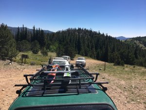
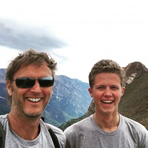
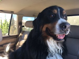
This boy had a birthday. Z is 8!
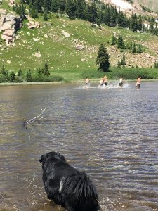
Off they go, to T’s distress.
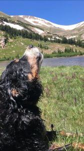
Lakes never have good patches. It’s always too spotty and rocky. But this inspired some additional “can we get close enough to boot over?” exploring.
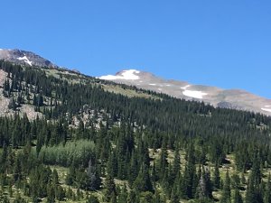
No luck with not too much time to spare. So après ensued.
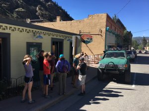
July turns for month 44 still await. The new Bard Peak Wit was outstanding.
July 1, so loaded up the skis for potential turns.

This boy had a birthday. Z is 8!


Off they go, to T’s distress.

Lakes never have good patches. It’s always too spotty and rocky. But this inspired some additional “can we get close enough to boot over?” exploring.

No luck with not too much time to spare. So après ensued.

July turns for month 44 still await. The new Bard Peak Wit was outstanding.
I decided to post here rather than in the Colorado fires thread ...
I was planning to go to Breck this weekend and hike McCullough Gulch. Given the fires, would it be worth it? 65* and raining sounds better than 99* and sunny ...
I was planning to go to Breck this weekend and hike McCullough Gulch. Given the fires, would it be worth it? 65* and raining sounds better than 99* and sunny ...
Don't know about Breck but in Frisco/Dillon you can't tell there are any fires.
Don't know about Breck but in Frisco/Dillon you can't tell there are any fires.
Thanks!
- Joined
- Jul 3, 2016
- Posts
- 1,898
Same with Copper. You wouldn't believe there are any fires around anywhere but we did go to Breck yesterday afternoon and from the observation deck up on 8 you could smell smoke and there were people complaining of burning eyes. Seemed like you had to be above 11,000' to smell it. Down lower was fine.
At what point is the height of summer behind those that live in Colorado? Would it be the end of August?
Will the 18/19 stoke and weather thread go up then?
Some of the 18/19 threads have started already... just needs someone to create them.
- Joined
- Jul 3, 2016
- Posts
- 1,898
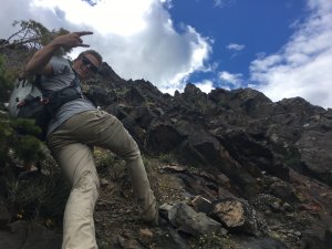
I was in the stoke a few weeks ago. One weekend (June 24th) we were off Hoosier Pass on a Jeep trail in a snow and graupel mix and then the following weekend (July 1st) we were hiking in RMNP up high and again in snow and graupel mix.
- Joined
- Jul 3, 2016
- Posts
- 1,898
Last few weeks of summer has been fun. I do feel bad for all those affected by all the fires.
@nay I think I will use a template of sorts that you kind of follow
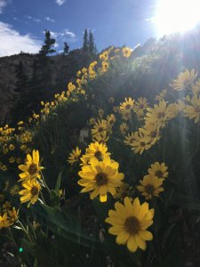
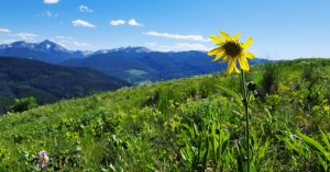
Just a relaxing beautiful day
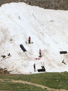
There is still a small group holding on to winter on Loveland Pass.
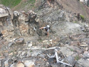
Hiking in RMNP a couple of weeks ago we were lucky enough to catch a view of this
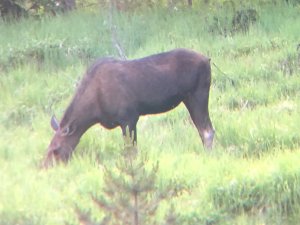
and not far from her was
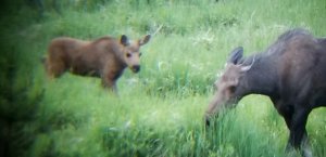
It's been a hot summer so far. We have been doing a lot of rafting across CO. I know it might be hard to tell from the pic but those that go to Ski Cooper might recognize Quinn. He is a patroller there. This is on the way to the Royal Gorge.
@nay I think I will use a template of sorts that you kind of follow
Just a relaxing beautiful day

There is still a small group holding on to winter on Loveland Pass.

Hiking in RMNP a couple of weeks ago we were lucky enough to catch a view of this

and not far from her was

It's been a hot summer so far. We have been doing a lot of rafting across CO. I know it might be hard to tell from the pic but those that go to Ski Cooper might recognize Quinn. He is a patroller there. This is on the way to the Royal Gorge.
Last edited:
At what point is the height of summer behind those that live in Colorado? Would it be the end of August?
Will the 18/19 stoke and weather thread go up then?
Usually once it snows ... which should be next month.
I have way too many photos from Saturday's Mohawk Lakes hike - here's one.
Being able to drive up to the 4WD trailhead was a big advantage - it skipped 1.5 miles each way of boring jeep road slog. Starting from the trailhead at 7:30 was also a huge advantage - the parking lots / roadside parking / herds of people when we got back around 1pm were out of control.
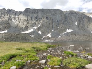
Being able to drive up to the 4WD trailhead was a big advantage - it skipped 1.5 miles each way of boring jeep road slog. Starting from the trailhead at 7:30 was also a huge advantage - the parking lots / roadside parking / herds of people when we got back around 1pm were out of control.

I have way too many photos from Saturday's Mohawk Lakes hike - here's one.
Being able to drive up to the 4WD trailhead was a big advantage - it skipped 1.5 miles each way of boring jeep road slog. Starting from the trailhead at 7:30 was also a huge advantage - the parking lots / roadside parking / herds of people when we got back around 1pm were out of control.
View attachment 49287
In case you didn’t know, there’s a trail along the creek from the main parking lot so you aren’t hiking the access road.
I totally agree, though, that driving all the way up is muy bueno as you get all the goods without the extra miles.
That's not Colorado!
LCC is awesome in July.
Except for the biting flies. We are so spoiled. Every time I go somewhere else in summer I’m reminded that things don’t bite me here and that I’m a huge bug pansy now
 .
.In case you didn’t know, there’s a trail along the creek from the main parking lot so you aren’t hiking the access road.
I totally agree, though, that driving all the way up is muy bueno as you get all the goods without the extra miles.
I didn't know. I saw a trail at the from the first 4WD trailhead. I assume it would have added mileage but been nicer than the road we walked back on. I had to walk back on the last segment of the road, anyway, because I had forgotten to take pictures of the obstacles - a friend is on restricted mileage and wanted to know if she and her vehicle could handle the last segment.
My "driver" was quite irritated at all the vehicles lining the 4WD road, giving him little room to maneuver for dips and rocks. A full sized truck is not exactly nimble.
It’s the Spruce Creek trailhead to the left of that first main parking lot. It’s a pretty section of trail along the creek in the woods with emerging views as you get further along.
So...if you can’t drive in or don’t want to, that’s the way to do it.
It’s the Spruce Creek trailhead to the left of that first main parking lot. It’s a pretty section of trail along the creek in the woods with emerging views as you get further along.
So...if you can’t drive in or don’t want to, that’s the way to do it.
I am 98% sure we are talking past each other. I think you're describing a trail at the first Mohawk Lakes parking area.
You can see the 2WD parking lot on Spruce Creek Road pretty close to its intersection with 9 : https://www.hikingproject.com/trail/7006806/mohawk-lakes
After that, Spruce Creek Road is considered 4WD, and it's a fair distance (over a mile) to the labelled Mohawk Lakes trailhead.
There is a trailhead at the first Mohawk Lakes that leads almost all the way to the end of the road - but the road to that first trailhead is 4WD, and (to my inexperienced eye) not appreciably less technical than the remaining short bit of road. Unless I completely misunderstood the situation, that trail goes from the first Mohawk Lakes TH to the end of the road (literally) - I don't think it starts all the way back at the 2WD trailhead.
Am I mistaken?
The last little bit of road from the first Mohawk Lakes trailhead to the absolute stopping point (metal barrier) is negligible - 1/4-1/3 mile. But it's boring, just like the road before it, so I suspect it would be worth it to take the trail for even that short segment.
Thanks to people parking on both sides of the road, even if you managed to park at some point along the 4WD road after the Spruce Creek (2WD) trailhead, there's a lot less room to maneuver on the way out. I swear that many people drove until they realized the next obstacle would be too much, then just stopped.
Sponsor
Staff online
-
Andy MinkEveryone loves spring skiing but not in January
Members online
- Magikarp
- Leonardpah
- JamesSaure
- Chewski
- ZionPow
- ThomasGet
- Nancy Hummel
- DavidNealp
- alpineteleskier
- ilovepugs
- dan ross
- slemmo
- tw90
- Bozzenhagen
- Yeeshus
- Cheizz
- Veronagdr
- SpeedyKevin
- evr66
- river-z
- Sibhusky
- AnthonySTYMN
- DanoT
- mo.ritz
- Chessie
- smv
- PupManS
- FlyingAce
- Spoorosew
- John Webb
- KylieUnarf
- AUdicky
- Vinnie
- BigSlick
- aarghh
- Andy Mink
- chinochulo
- AngryAnalyst
- z57
- Johnfmh
- BTWilliams
- NAC
- Calvin & Hobbes
- surfski
- anders_nor
- maximlloa
- RollingLeaf
- scrubadub
- raytseng
- dovski
Total: 2,842 (members: 65, guests: 1,882,robots: 895)

